

Taveuni Island, Fiji
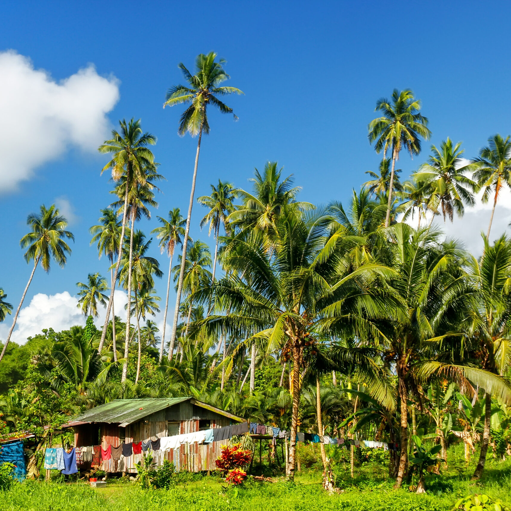
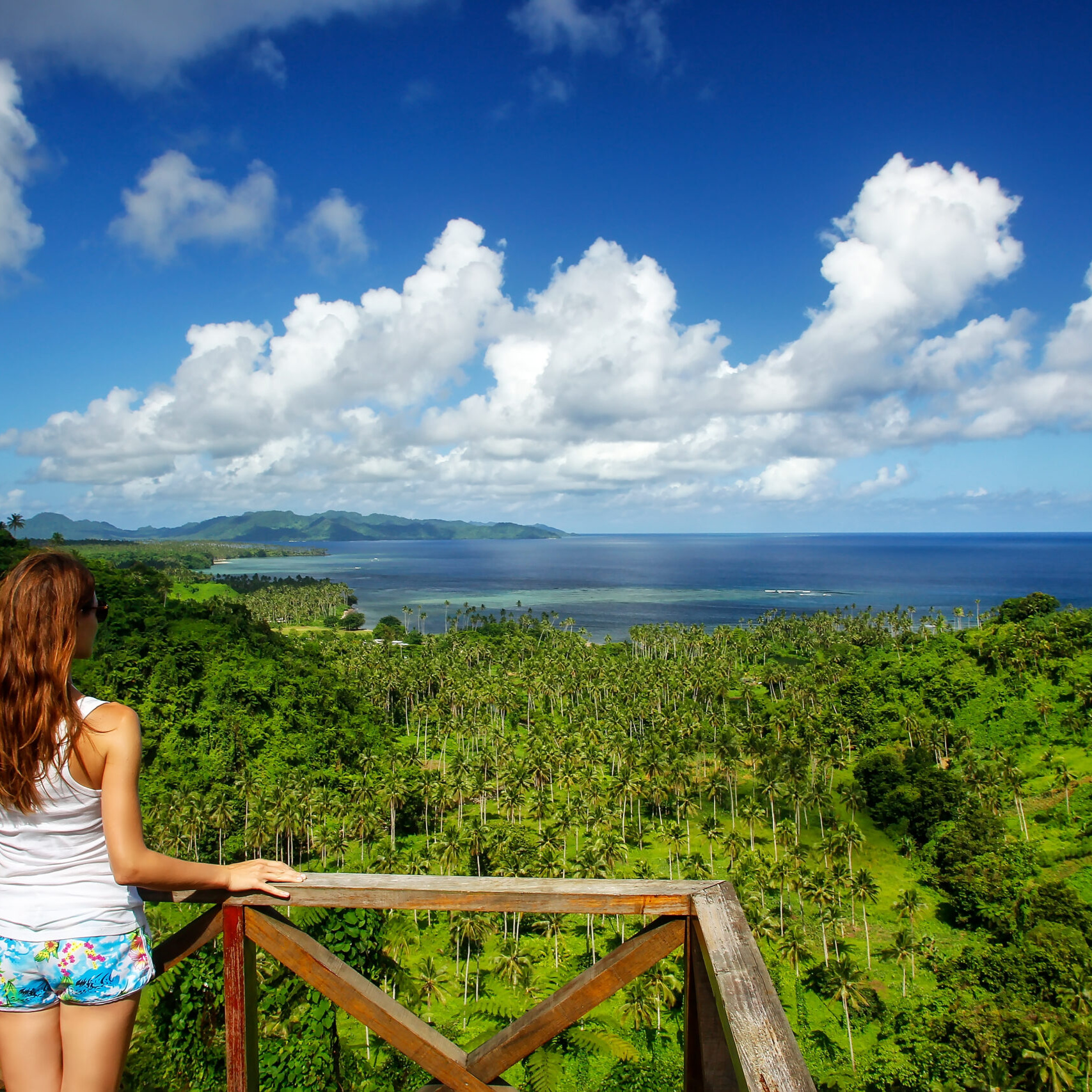
Taveuni (pronounced Tah-vee-ew-nee), the garden island of Fiji, is rugged, wet, verdant and pristine. It lies only seven kilometers off the southeast coast of Vanua Levu and is 42 kilometers long and averages about 11 kilometers wide. Taveuni is a archetypically beautiful tropical island, thick with vegetation and resplendent with tropical flowers. It offers the visitor a rich natural history, in particular, a fine array of bird life. Fortunately (unlike other islands in the Fiji archipelago) the mongoose was never introduced to Taveuni and consequently many of the birds that have vanished on Viti Levu and Vanua Levu still thrive on the Garden Island. Once the home of fierce warriors, Taveuni residents still exude pride and confidence in their step.
Taveuni is located at the northern end of the Koro Sea and is entirely the product of volcanic activity. Fiji's third largest island is separated from Vanua Levu by the Somosomo Strait. The island is between 10 and 14 kilometres wide and 42 km long is the top of a dormant, elongated shield volcano which erupted from a northeast-southwest trending rift on the ocean floor. About 150 volcanic cones dot the island, including Uluigalau, Fiji's second highest peak at 1,241 metres and Des Vœux Peak, next in height at 1,195 metres. There have been at least 58 volcanic eruptions since the first human settlement around 950-750 BC ,all of which affected the southern two-thirds of the island. Major eruptions from 300–500 AD caused abandonment of the southern areas until about 1100 AD. The latest eruption produced a lava flow at the southern tip of the island around 1550. The island's central ridge delineates the greatest volcanic activity surrounding volcanic vents.[2]
Lake Tagimaucia is one of Taveuni's most famous tourist attractions.[5] It occupies a volcanic crater at an altitude of 800 metres, and is the habitat of the rare tagimaucia flower. Fiji's most famous waterfalls, the Bouma Falls, are also on the island, located in the Bouma National Heritage Park. South of Vuna village and the lagoon, jet black rocks litter an area known as the South Cape where Taveuni's last volcanic eruption spilled into the sea around 500 years ago. The highlight of the region is the Matamaiqi blowhole with geysers created by trade winds crashing into the volcanic rocks. About 20 minutes by foot from the town of Waiyevo is the Waitavala Waterslide. This entirely natural streambed chute plummets for about 50 metres down the lush hillside and is a favourite haunt for local children and brave tourists. In eastern Taveuni the Savulevu Yavonu Waterfall empties into the ocean. Tavoro Creek, Somosomo Creek, Waimbula River and the islands most notable waterways.
Many of Taveuni's best known attractions lie underwater. There are three major, distinct diving areas around the island. To the north of Taveuni lie in close proximity the islands of Qamea and Matagi with their surrounding reef systems. The Rainbow Reef and Vuna Reef are famous for diving and snorkeling, respectively. The Rainbow Reef, on the western side in the narrow Somosomo Strait between Taveuni and Vanua Levu, is known as one of the world's premier soft coral dive areas and the soft coral capital of the world [7] The horseshoe-shaped Vuna Lagoon, near the southern end of the island, is much appreciated among divers for the opportunity to see larger pelagic and schooling fish species on the exposed southern side of the reef, whereas the sheltered western parts provide pristine soft and hard coral gardens. Migrating humpback whales pass the island in July.
Of interesting note is that the island of Taveuni crosses the east-west antimeridian so the "north-eastern" portion of the island is located at -179 degrees longitude and the south-western part at +179 degrees longitude. This is often an example that causes havoc to GIS software in which a polygon geometry around the perimeter of the island is incorrectly rendered and wraps around the globe.
To protect Fiji's wildlife, two sanctuaries have been created on the island of Taveuni, namely the Ravilevu Nature Reserve on the east coast, and the Taveuni Forest Reserve in the middle of the island. The potential to be nominated as a World Heritage Site contributes to the island's national significance as outlined in Fiji's Biodiversity Strategy and Action Plan.[9]
The population is concentrated mostly on the more sheltered western side of the island. Taveuni has eight major villages. Halfway down the west coast is the administrative centre of Waiyevo. The largest urban area, however, comprises the twin villages of Somosomo and Naqara. As the traditional fiefdom of the Tui Cakau, one of Fiji's highest-ranked chiefs, Somosomo is regarded as the capital of the Tovata Confederacy, while Naqara, an Indo-Fijian settlement, is the island's commercial centre. The main hospital is located at Waiyevo while a number of nursing stations and health centres are located around the island.[10] Other settlements include Bouma, Deleni, Gacaavulu, Kanacea, Korovou, Lavena, Matei, Naselesele, Navakawau, Salialevu, Soqulu, Vuna, Wairiki, and Welagi.
The climate of Taveuni and Fiji is tropical without temperate extremes. It has been described as typical highland. Between November and April the area is prone to tropical cyclones. Rainfall rates on the island are high because the central mountains produce precipitation by orographic uplift. As much as 10 metres of rain falls annually on the eastern side of the island, but the western side is sheltered from the southeast trade winds by the ridge that runs the length of the island. The central ridge experiences a wet upland climate which supports montane and submontane forests. Near Mount Koroturanga, 9,970 mm of mean, annual rainfall has been recorded. A 2011 study identified coastal erosion, flooding and water availability and supply as the most significant impacts of climate change on some of the villages on Taveuni.
